Возможности
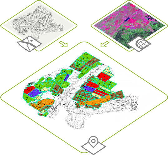
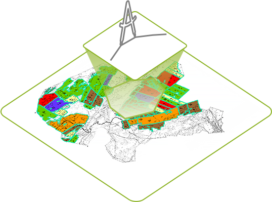
Составление агрохимических картограмм хозяйства
Предположим, у вас имеются:
- печатная карта хозяйства, которую вы отсканировали и оцифровали по полям;
- данные о содержании химических элементов в почве.
Дальнейшая обработка этих данных инструментами AgroKarta позволит получить агрохимическую карту в несколько шагов.
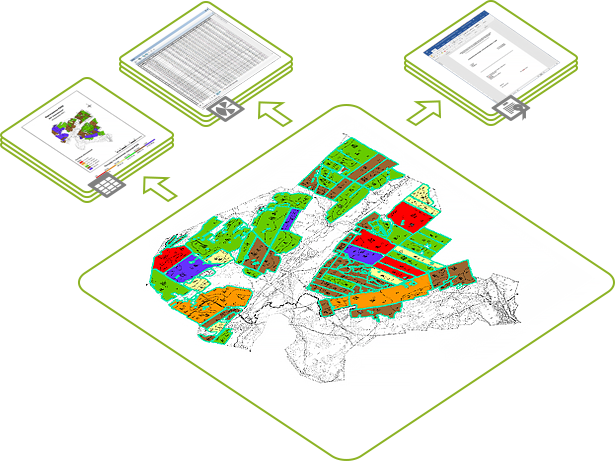
Составление отчетности в соответствии с требованиями Министерства сельского хозяйства Российской Федерации
В обязанность центров и станций агрохимической службы входит составление регулярных отчетов для Министерства сельского хозяйства. AgroKarta позволяет составлять несколько типов стандартных отчетов на основе заданных шаблонов.
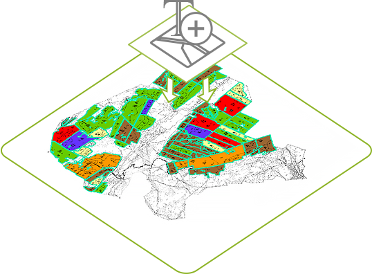
Импорт данных из таблиц MS Excel
После сбора полевых данных по содержанию химических элементов в почве необходимо внести эти показания как значения атрибутов в слои элементарных участков. Для этого необходимо создать и заполнить одну MS Excel таблицу с содержанием данных опробования, общую для всех элементарных участков.
Инструмент «Импорт атрибутивных данных в слои и таблицы» добавляет колонки с данными из xls-таблицы опробования почв в атрибутивные таблицы элементарных участков. Если в атрибутивных таблицах колонки с названиями хим. элементов уже есть, то инструмент просто их заполняет значениями из xls-таблицы.

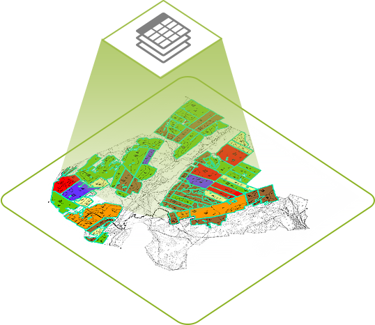
Инструмент "Разделение таблицы или слоя по атрибуту" может разделять объекты из исходного единого слоя в новые слои, группируя исходные объекты по атрибутивному значению.

Инструмент "Ручное разделение площадных объектов" предназначен для разделения линией полигональных объектов вручную с возможностью задания ширины просвета вдоль линии деления.
Если вам необходимо разбить поля на элементарные участки фиксированной площади, то вам следует воспользоваться инструментом "Автоматическое разделение площадных объектов".

Объедините несколько слоев в один инструментом "Объединение слоев и таблиц".
Подсчет площадей полей, контуров и элементарных участков
Для подсчета площадей полигонов вам потребуется инструмент "Запись параметров геометрии в атрибуты". При помощи него вы можете выбрать из списка слоев карты источники для расчета, задать единицы измерения и имя поля для записи расчетного значения.
Обновление имени слоя карты по значению площади
Агрохимическая карта может содержать десятки элементарных участков, часть из которых может иметь площадь, близкую к нулевой, и должна быть удалена. Поэтому для удобства пользователей разработан специальный инструмент "Синхронизация имени слоев и таблиц с данными". Он добавляет в имя слоя значение его площади и пользователю не составит труда провести площадной анализ своих данных.
Нумерация площадных объектов
Инструмент "Нумерация объектов" может присваивать порядковые номера элементарных участков как вручную, так и в автоматическом режиме. При этом, можно закончить присвоение на каком-то номере, запомнить текущее значение и при следующей сессии редактирования начать нумерацию с данного сохраненного значения.
- При нумерации в ручном режиме пользователь присваивает номера выбранным участкам кликом по карте.
- Автоматическая нумерация осуществляется по кнопке «Пронумеровать все».